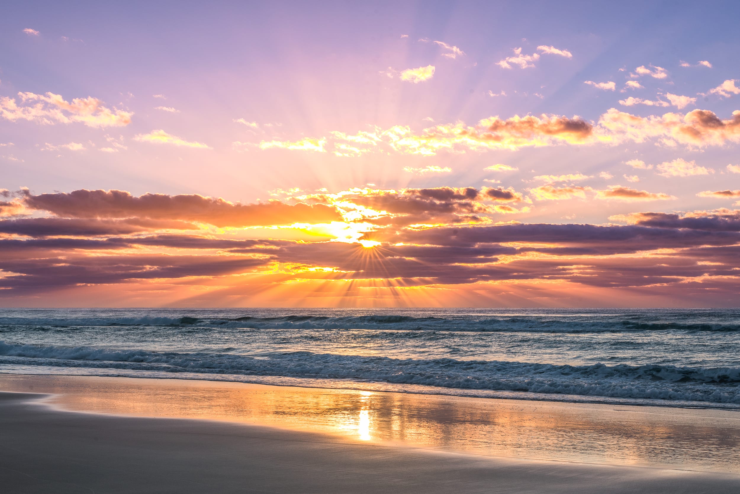
![K’gari Fraser Island Ferry Prices: Compare Routes and Costs [2026]](/media/website_posts/32/Cars-on-Beach1.jpg)
If you’re off to K’gari, the Fraser Island tides can shape your whole trip. From Hook Point to Waddy Point, Fraser Island tide times affect beach access, barge times and the safest window to drive a 4WD on the sand.
Whether it is your first visit or a return trip, clear K’gari tide times can help you avoid hasty choices and stressful beach runs. A quick check of high tide Fraser Island and low tide Fraser Island is a good start but swell, wind and rain can still change conditions. It helps to use one trusted source, match it to your route and leave a little buffer.
The rhythm of Fraser Island’s tides dictate the pulse of every 4WD journey. A rising tide can turn a wide stretch of hard sand into a soft, narrow track in just a few hours.
Planning your travel around low tide on K’gari, gives you a generous, wide highway of sand to explore. This means firmer sand under your tyres and extra space to move calmly and safely. The Queensland Parks and Wildlife Service confirms that the optimal low-tide window is your ticket to the safest conditions for beach driving.
High tide on Fraser Island squeezes your driving space, creating deep ruts that can grab at your tyres, leaving you with fewer escape options if you get trapped near creeks or headlands. The tide’s height is as important as its timing. A higher high tide can cover almost all the hard sand, leaving only soft, churned sections near the dunes.
Spring tides bring bigger highs and lower lows, which makes the safe driving window tighter. These extreme tides occur naturally when the moon and sun align, happening approximately every 14 days. Neap tides (moderate - low range) create smaller shifts and more forgiving access but you still need to watch for pinch points.
Trust your gut! If a section looks risky or the tide is creeping in sooner than expected, turning back is always the smarter, safer choice. Calm, well-timed travel allows you to relax and soak up the natural beauty of K’gari with peace of mind.
Selecting the right K’gari tide source can make your trip feel much smoother from the start. The most trusted options include the QLD Parks tide PDF, barge operator advice, reliable tide apps and well-known tide websites.
Each of these provides Fraser Island tide times but small differences in timing and height can exist between them. This is why sticking to one source is a good idea.
Always check that your chosen source displays the correct location, date and shows times in AEST (Australian Eastern Standard Time), not another time zone. Some apps and sites default to other regions or change with daylight saving so a quick check prevents confusion later.
Switching between tide tables or websites may shift the times or heights slightly. This small discrepancy can unravel your carefully laid plans, creating unnecessary stress on the tracks. For ease and peace of mind, save or screenshot a single tide table or K’gari tide calendar to your device before you arrive, as mobile reception can drop out on the island.
A quick check helps you trust your source. Look for these details.
For grounded explorers and conscious connectors, a single, consistent tide source removes guesswork. It allows you to travel with confidence, knowing you have the most relevant K’gari Fraser Island tides today at hand.
Using the right tide location helps you find the safest path and reduces the risk of a soft-sand surprise.
Matching your route to the correct tide station is a simple way to improve safety and keep your trip calm. Use this table as a quick guide for your planning.
| Area of K'gari |
Recommended Tide Location |
| Northern East Coast, Orchid Beach |
Waddy Point Tide Times |
| Southern Entry, Barge Landing |
Hook Point Tide Times |
| Specific Headlands and Creeks |
Local tide times (e.g. Eli Creek, Indian Head) |
For most of the 75 Mile Beach, Waddy Point tide times are your best reference. For the southern entry and barge area, Hook Point tide times are more accurate.
Always tie each key stop to its closest tide reference. This helps you map your turnarounds with confidence, keeping your journey safe and enjoyable.
Reading a Fraser Island tide chart is simple once you know what to scan first. Begin by noting the high and low tide times, then check the heights for each. The daily range shows how much the beach changes throughout the day.
A higher tide pushes water closer to the dune line, leaving less firm sand for safe travel. Soft, churned sand near the top of the beach can turn a 4WD trip into a slow, grinding and stressful crawl.
This is especially true if you carry heavy loads or tow a trailer. Low tide creates a wide, hard-packed stretch of sand that is ideal for a tranquil, scenic drive.
Always build in extra time for your travel. Wind, swell and changing weather can close your safe driving window fast.
Confirm all tide times are in AEST and have not been auto-adjusted by your device or daylight saving. Write a simple note for each trip leg, for example, ‘low tide plus or minus two to three hours.’ Stick to this window for each section and you set yourself up for a smoother, safer day.
Making the most of a K’gari beach-driving tide window can turn a 4WD journey into a serene, memorable experience. Start by listing your must-do stops for the day. Then match them to the best time to drive along the beach on Fraser Island..
Low tide brings wide, firm sand and a feeling of space. This suits both first-timers and seasoned visitors looking for a relaxed journey.
Plan your longest beach drives within two to three hours of low tide. Inland tracks, forest walks and lakes such as Lake McKenzie, fit best during higher tides. This is when the beach narrows and soft sand slows travel.
Allow for speed limits, unexpected traffic, photo stops and simple recovery moments. Add extra time if the swell is up or you tow a trailer. A little extra planning creates a lot of peace of mind.
Decide on a hard turnaround time for each beach run. This simple rule protects you from a rising tide, fading light and the pressure to rush.
Leave earlier than you think you need to. This allows you to travel with a sense of ease rather than urgency. Night driving on K’gari’s beaches adds substantial risk so aim to finish your beach run well before dusk.
A written plan can help everyone in your group feel confident and informed. If you fall behind schedule, skip a stop or detour inland rather than forcing the beach at high tide. The real reward is more time to pause, swim and soak up the quiet beauty of K’gari.
Timing your barge crossing sets the tone for your whole trip. K’gari barge tide times guide safe access on and off the island, especially between Inskip Point and Hook Point.
Arrive early to allow for queues, loading cycles and the occasional delay. These things can push you closer to high tide and create a stressful start.
Aim to clear the southern beach entry before the waterline climbs. The sand near Hook Point narrows quickly as the tide rises. Queensland Parks specifically advises to only travel on the beach around Hook Point at low tide so a relaxed start gives you more options and less pressure.
When planning your exit, avoid booking your last-day barge too close to high tide. Give yourself plenty of buffer time for the drive south, allowing for traffic and softer sand.
Before you board, check these essentials:
With a smooth approach and a little extra time, you can step onto K’gari’s sand with peace of mind.
[ADD IMAGE: Reading a Narrow Beach Safely]
Some spots along Fraser Island’s east coast call for extra care. This is especially true near headlands, coffee rock shelves, eroded dunes and creek crossings.
Eli Creek can slow traffic as vehicles queue for the crossing. Soft sand often builds near the exit and water sometimes cuts across the route. In busy periods, this area can feel tight and unpredictable.
Indian Head and its surrounds narrow quickly as the tide rises. Here, the window for safe passage shrinks and riskier driving moves become tempting.
Keep left, use steady momentum through soft patches and never drive through saltwater. Avoid stopping in deep ruts or blocking the track for others.
If a pinch point feels unsafe, ease off and wait for the next low-tide window. Consider a detour via an inland bypass if one is open. You could also choose an earlier camp stop to stay ahead of the rising tide.
Before heading out, take a moment to recheck the latest K’gari (Fraser Island) tides. Also look at the weather, swell, wind and rain reports. Conditions can shift overnight, changing how the sand feels beneath your tyres.
A last-look checklist helps your day start smoothly.
Write down your planned departure time, turnaround time and a backup route in case you need to detour. This keeps the plan clear when the day shifts.
If the beach looks wrong or feels softer than expected, slow down. Choose an inland track or stop early. There is no rush on K’gari. Less pressure means you enjoy more peaceful swims, open skies and quiet sunsets.
Stay close to the rhythm of the ocean tides at The Haven on K’gari. When you base yourself right on the beach, it becomes easier to use one trusted tide source. You can match tide locations to your route, add generous buffers and recheck conditions before each drive.
This gentle approach translates to safer 4WD beach driving, smoother barge timing and fewer heart-stopping pinch-point surprises. Your days can follow the waterline. This lets you savour slow mornings, sunset walks and spontaneous swims without a rush.
If you want calm, low-stress planning, our team offers clear guidance and local support for adults who value comfort and connection. We can help you shape your stay around the island’s natural pace, making your trip feel simple, therapeutic yet invigorating.
Ready to plan your calm K'gari escape? Contact us to learn more.