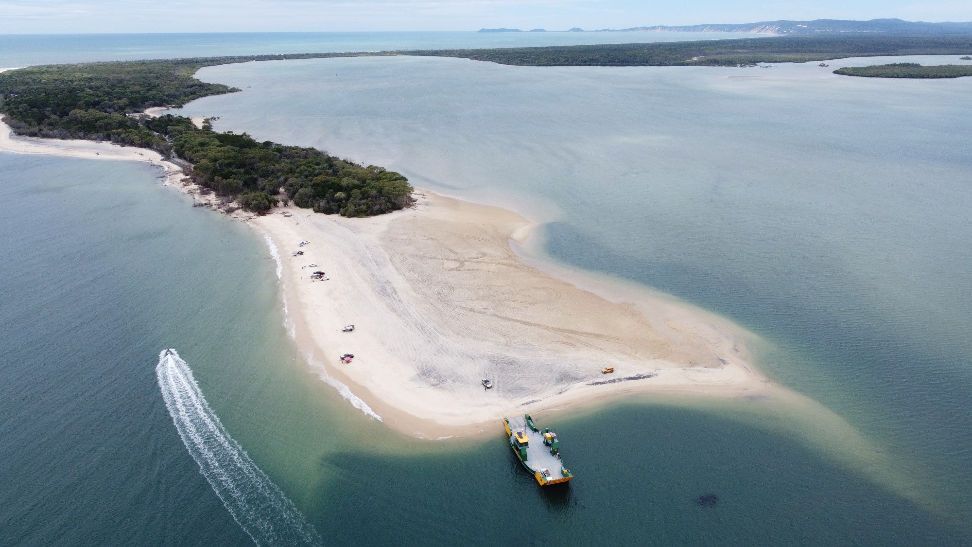

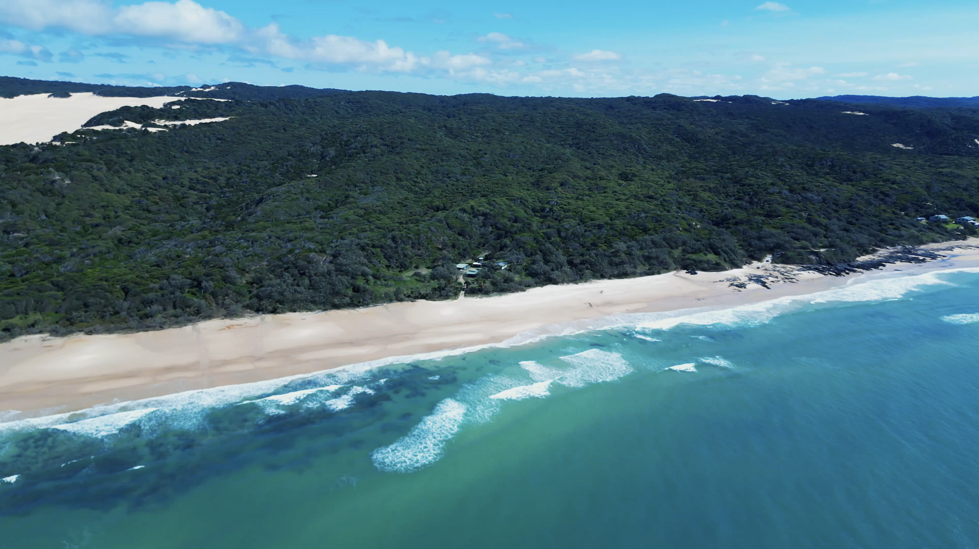
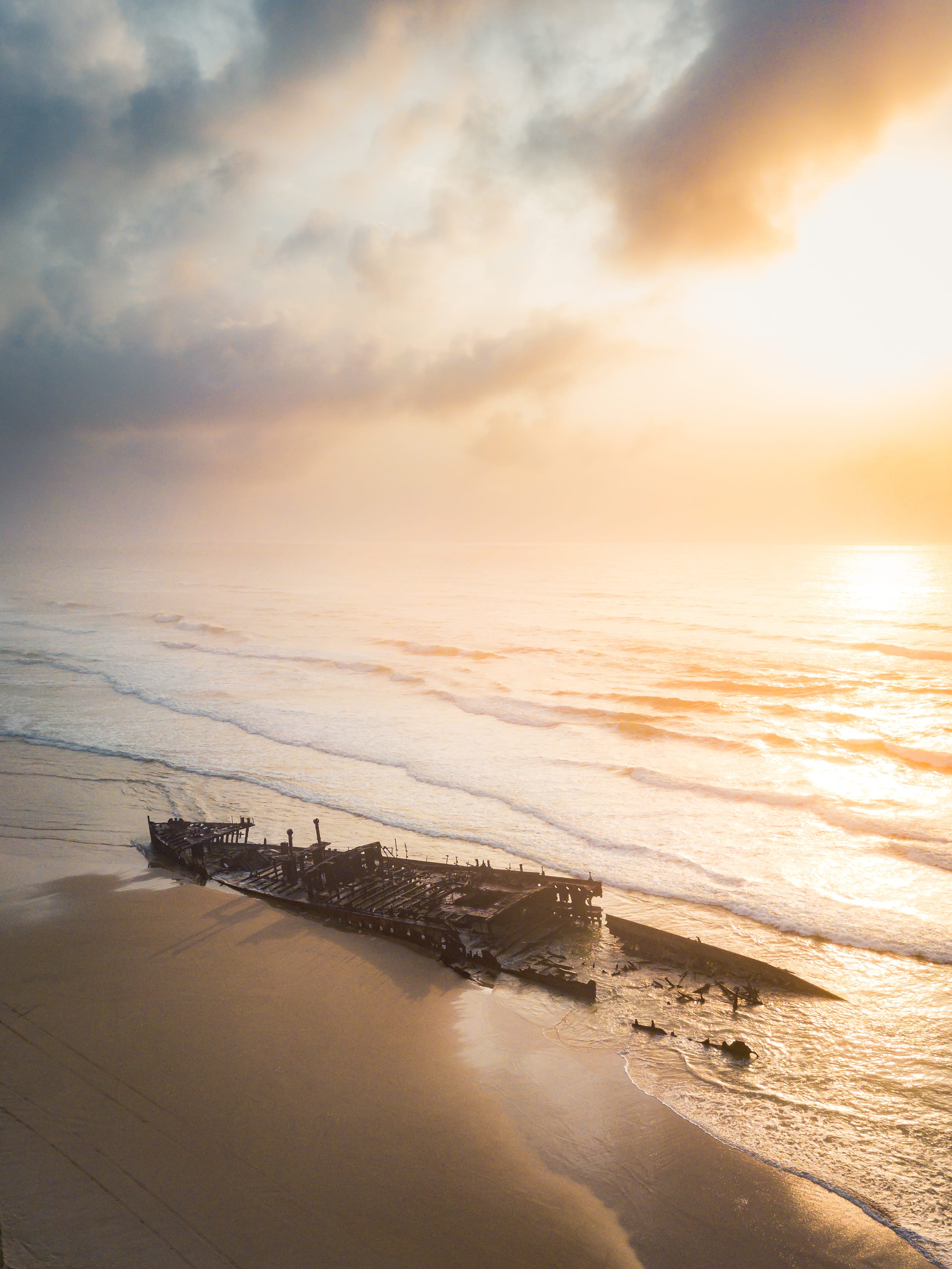
K'gari offers long beach drives with the salty breeze in your hair, refreshing freshwater lake swims, lush rainforest growing straight out of the sand and the kind of breathtaking scenery that makes the whole trip feel deeply rewarding. However, before the wheels hit the sand, a good K'gari Fraser Island 4WD tracks map is what turns an exciting idea into a confident, well-timed plan.
A tracks map helps you choose your route, spot key stops, judge realistic travel times and coordinate a backup if tides or conditions shift. Beach driving and inland sand tracks behave very differently so knowing how to read them on the map changes how you plan your day, fuel consumption and stress levels.
K'gari is a conditions-led location so the map works best when you treat it as a flexible decision tool, rather than a fixed itinerary. Tides, closures and soft-sand sections all affect what is actually driveable on any given day and a well-read map helps you plan with that reality already built in.
A good K'gari Fraser Island 4WD tracks map works across several layers at once. The core view shows beach corridors, inland sand tracks, scenic drive routes and the access points that connect them. From there, you can spot major service hubs such as barge landings at Inskip Point and River Heads, townships such as Eurong and Happy Valley, fuel stops, ranger bases and key facilities.
Safety detail is just as important as route lines. Look for hazardous beach labels, no-vehicle zones, speed zones and warning icons that flag creek crossings or narrow pinch points. Camping areas and day-use sites often sit close together on the page but their access rules can differ, so read the label rather than assume the location tells the full story.
One trap that catches first-timers is scale. A short line on the map can still mean slow, soft sand and a much longer drive than the distance suggests. A K'gari travel times map used alongside your tracks map gives that missing context before you commit to a route.
The best starting point is the official K'gari Recreation Area map from Queensland Parks in the maps and resources hub section. It gives the clearest track layout, current management boundaries and the most reliable detail for route planning. A K'gari Fraser Island map PDF often outperforms standard online maps once you leave mobile reception. You can save it before you board the barge, print it at home and scan the track hierarchy without screen lag or dropped signal.
A K'gari interactive map serves a different purpose. It helps with close zoom, attraction checks and quick orientation while you are still in the planning stage at home. It is less useful once you are without a signal.
A paper map still earns its place in the glovebox. It shows the big picture at a glance, gives you room for handwritten notes and removes any battery concern. The simplest backup stack is a saved PDF, a printed paper copy and offline phone map tiles downloaded before departure. Save tide time pages and closure notices as screenshots too.
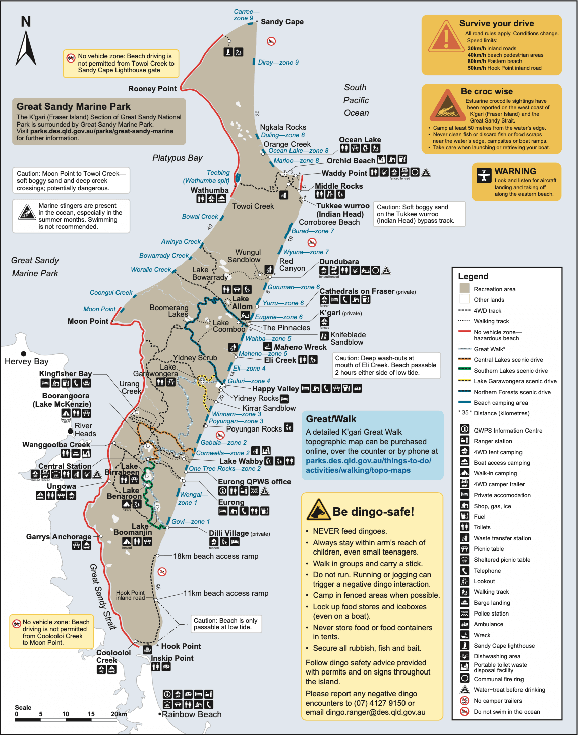
The legend is where a K'gari Fraser Island 4WD tracks map shifts from a picture into a usable plan. Spend a few minutes with it before you set off and the whole map becomes easier to read in the field.
Start with the main drive routes, then move to smaller spurs that branch toward camps, lookouts or lake car parks. Some lines only open in certain seasons or after maintenance works so check those notes before you assume a track is clear. Walking-only routes are just as important to spot. A trail to a lookout or lake edge can sit close to a vehicle track on the page without being driveable.
Restricted areas need a quick scan too. Management zones, permit boundaries, fenced sites and temporary closures should be identified before you choose your loop for the day.
Hazard labels are worth treating as timing and comfort decisions, not just symbols. If the map marks a hazardous beach stretch, washout, creek crossing or narrow pinch point, factor that into your route before you leave camp.
Icons then help fine-tune the day. The table below shows the most common ones and what they mean for your planning:
| Icon type |
What it marks |
Planning decision |
| Toilet symbol |
Flushing or pit toilet facility |
Good rest stop or lunch break point |
| Picnic area |
Day-use site with tables |
Works well for a mid-drive break |
| Ranger station |
Staffed base or contact point |
Useful for conditions checks on arrival |
| Lookout |
Scenic viewing point |
Quick stop, usually off a short spur |
| Camp marker |
Designated camping area |
Confirm permit requirements before arrival |
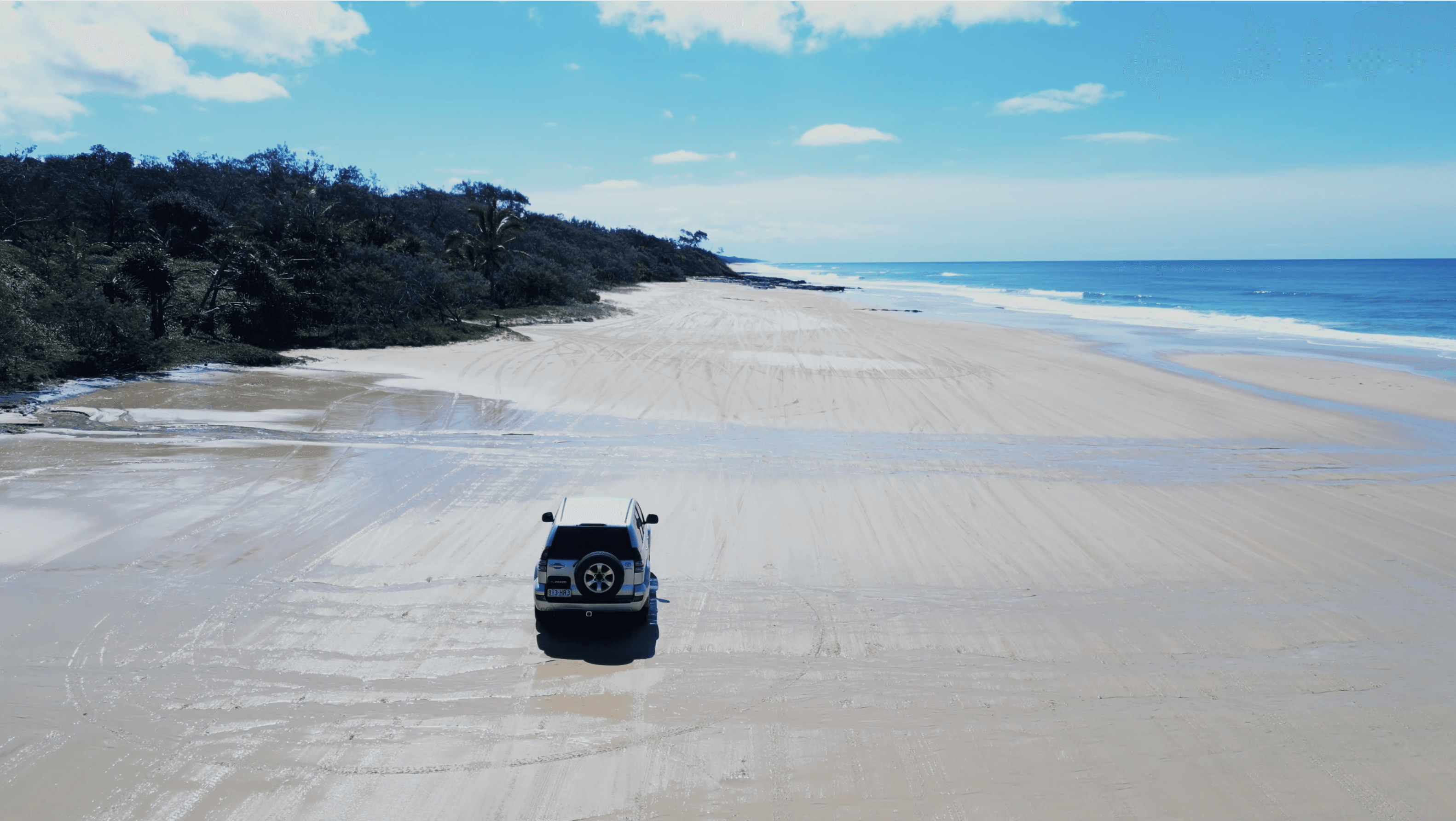
On most K'gari Fraser Island 4WD tracks maps, 75 Mile Beach is the line that makes everything else make sense. Treat it as your main highway along the eastern side. Once you find that corridor, you can spot beach exits and inland entry points that lead toward lakes, rainforests, resorts and camp zones. That is where the map starts shaping a realistic day rather than just showing you a coastline.
You are not just tracing distance along the beach. You are matching each exit to a tide window, stop time and your return path.
Bypass tracks matter a lot in the beach section. Headlands and narrow sections can tighten access near high tide. Queensland Parks advises you should use bypass roads if in any doubt, as wave action can expose dangerous rocks after just one high tide. When you read the 75 Mile Beach driving map line, scan ahead for these workarounds as part of your morning plan.
Note any hazardous beach stretches and no-vehicle zones near popular photo spots or pedestrian areas. Those labels help you choose a safer place to pull up rather than making a last-second call on the sand. Beach travel often feels quicker than inland travel but only when the tide suits your plan. Mark your intended beach entry time, your latest safe return through each pinch point and one inland alternative if ocean conditions push the plan off course.
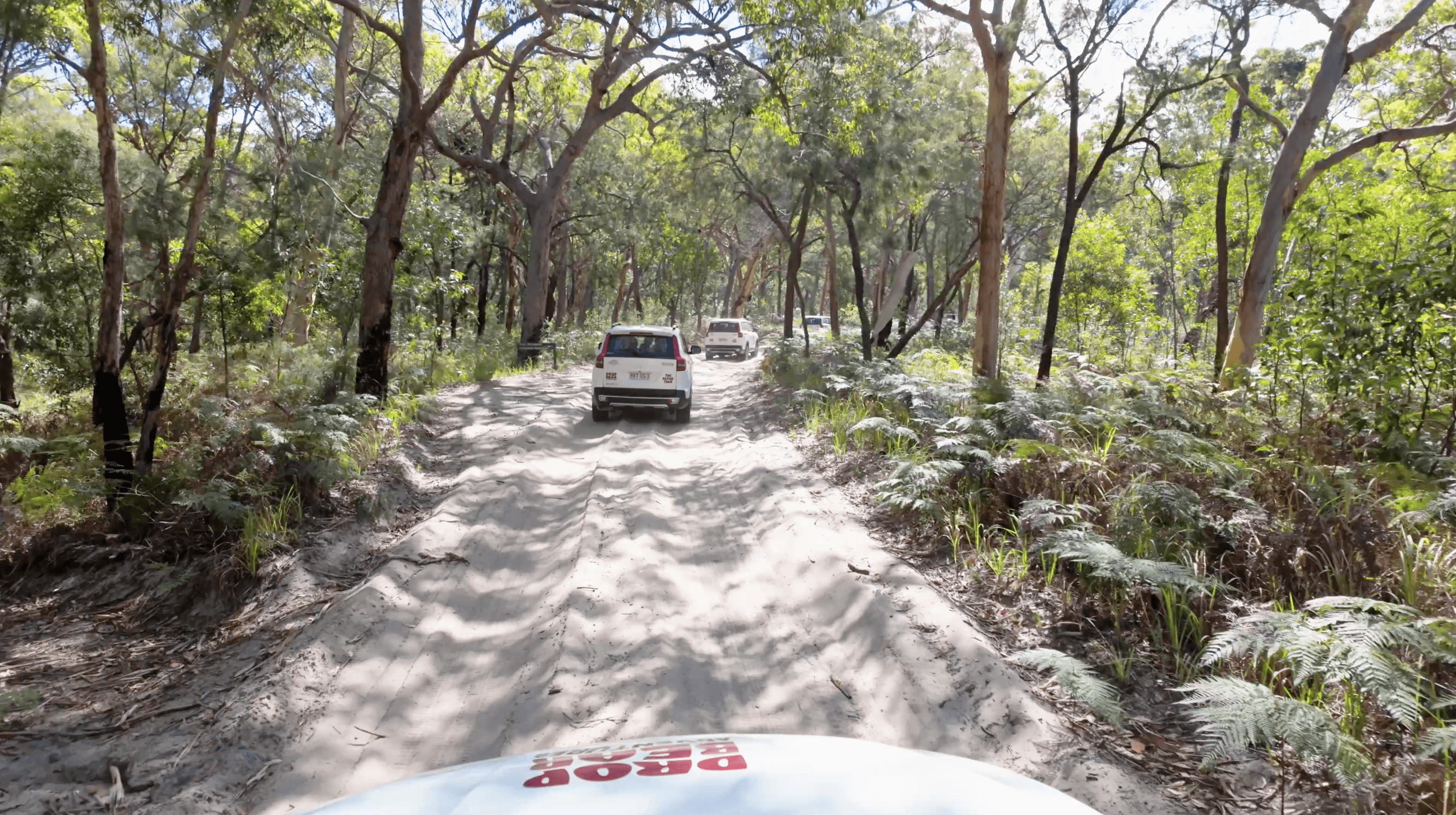
Inland tracks are where the map deserves a slower read. Start with the main cross-island connectors and any scenic drive loops that branch from them. These routes link the west coast barge points, Central Station, lake access roads and beach exits on the eastern side. On paper, some inland sections look short. On sand, they can take significantly longer than expected.
Soft patches, narrow sections, traffic from other vehicles and rough surfaces all reduce your average speed. A K'gari travel times map used alongside your inland tracks map is the clearest way to catch that gap before it disrupts your day.
Look closely at the lake access corridors, particularly the routes toward Lake McKenzie (Boorangoora). Those tracks often shape the whole middle section of your day so plan them early. Keep an eye out for churned-up stretches and soft-sand hotspots near popular sites or after busy periods. These are the spots where tyre pressure and smooth momentum matter most.
Before you commit to an inland section, mark a simple bail-out route back to the beach or a main connector. Where two inland options lead to the same stop, the route with the cleaner return path and fewer extra turns is usually the better choice for fuel, timing and stress.
A map becomes genuinely useful when it connects to a timetable. Work through these steps before you leave:
Add realistic buffers throughout. A swim stop, photo opportunity, lunch and one slow inland stretch can easily add more time than first-time visitors expect.
Group nearby highlights together so the route flows naturally. If you are on the eastern side, it often makes sense to pair beach stops that sit close together. Then use one inland turn-off for a lake or rainforest visit, rather than crossing the island twice.
As a simple rule, beach travel is generally quicker and inland travel is generally slower. Every plan should carry extra slack for the unexpected. Set one personal check-in time. If you have not reached a key junction by then, cut a stop and switch to the simpler route.
Your map only works well when it sits alongside current conditions. These checks should happen before you finalise any route.
Pair the map with K'gari beach-driving tide times for clear ‘go or no-go’ decisions. Beach sections that look straightforward on paper can close down quickly around high tide, particularly near headlands and pinch points. Check the K'gari track closures map and recent conditions reports before departure. Closures can affect inland spurs, bypass tracks, camping access or full cross-island routes.
Confirm your permits and access rules before you go. A vehicle access permit is required before driving on K'gari. Camping and entry into restricted areas all require the right paperwork too so missing one can affect your whole route plan.
Re-check conditions after heavy rain, strong swell or busy holiday periods. Once you have the latest information, save it for offline use. Screenshots of tide times, closure notices and your route notes are far more reliable than hoping for a signal once you are on the sand. If you travel with others, make sure more than one person has the same files saved.
Ensure you store food securely throughout your trip and DO NOT feed dingoes as it is highly illegal and hefty penalties apply. Encounters are more likely when you stop at popular sites and rest areas so keeping food out of reach is a simple habit that protects both you and the animals.
Most delays on K'gari come from map misreading, not bad luck. These are the most common ones to watch for:
The groundwork for a smooth K'gari day is straightforward when you approach it in the right order. Use official map sources, read the legend before you leave, plan around tides and expect inland travel to take longer than the page suggests.
Keep the day flexible. Build buffer time into every plan, carry backup map options and give yourself permission to add a stop if conditions shift. That flexibility is what keeps the day feeling relaxed rather than rushed.
With the navigation side sorted, the focus can shift to the parts that make the trip truly unforgettable: breathing in the crisp salt air on the beach, feeling the cool rainforest shade on the inland tracks and enjoying a refreshing, clear freshwater swim at a lake that looks almost too good to be real.
Ready to explore K'gari without the planning stress? Contact us and the Drop Bear Adventures team will help you sort the details before you go.